Table of Content
Islands or Submerged Mountains?

What if we told you the Andaman islands are not just islands but a mountain range?
This range that travels from the seven sisters and falls along to coastal Myanmar, also extends and disappears into Bay of Bengal, only to rise once again in the Andaman and Nicobar islands. These are the Arakan Yoma Mountain Ranges of Burma (aka Rakhine Mountains).
Understanding the geography of a place allows you to get a spatial sense of a place. Almost as if you could rise above and see it all in some large panorama. So let’s straight up dive into how the Andamans look like!
Geographical Location of Andaman and Nicobar Islands
Three Things to Remember
- North Andaman Islands – The Northern part of the archipelago, where tourists are permitted.
- Ten Degree Channel – The 10° latitude is the marking element that separates the Andaman from the Nicobar islands.
- South Nicobar Islands – The tribe preserving and tribe exclusive southern part, where only people with a permit or government serving officials are allowed.
Stretched on the globe from 6° to 14° Northern latitudes and from 92° to 94° Eastern longitudes, this archipelago is categorized into the North Andaman Islands (North of 10° latitude) and South Nicobar Islands (South of 10° latitude). They are separated by the Ten Degree Channel, which is 150 km (93 mi) wide. The Andamans encompass an area of 6,408 km2 (2,474 sq mi), while the Nicobar group covers 1,841 km2 (711 sq mi).
Neighbours
A fun fact here is if you search for McDonalds sitting in Port Blair, the nearest outlet you’ll be recommended would take you to Thailand!
The Andaman and Nicobar archipelago shares an international marine border with Myanmar on the North-East (about 280 km), Thailand on the South- East (650 km) and Indonesia on the South (about 165 km).
Separated by the mainland of Indian territory by the Bay of Bengal on the Southeastern part, it is roughly 1,200 kilometers (750 miles) from mainland India. Chennai in Tamil Nadu, mainland India, falls the closest port to Andaman and Nicobar Island. This is followed by Kolkata by 1255 km (780 mi). On Andaman’s east lies the Andaman Sea, which brings in the water to most of the tourist beaches of this place.
Barren Island, the only active volcano of India is located in the Andaman Sea. Indira Point located at 6°45’10″N and 93°49’36″E at the southern tip of Great Nicobar, is the southernmost point of the entire territory of India.
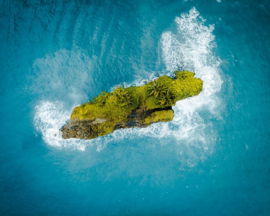
The Andaman and Nicobar Islands are an Archipelago, But What’s An Archipelago?!
Well, an archipelago is a group of islands. The Andaman and Nicobar islands comprise 572 islands and islets. And guess what! Only 31 are inhabited on a permanent basis.
The Andamans comprise North, Middle, and South Andaman, known collectively as Great Andaman. These are the most known and inhabited islands. Landfall Island, Interview Island, the Sentinel Islands, Ritchie’s Archipelago, and Rutland Island are some other islands. Little Andaman in the south is separated from the Nicobar Islands by the Ten Degree Channel.
The Nicobars consist of 19 islands. Car Nicobar in the north; Camorta, Katchall, and Nancowry in the centre; and Great Nicobar in the south are the most popular islands of the Nicobar. On the southwest of Great Nicobar lies Indonesia.
Saddle Peak on North Andaman is the highest peak in Andaman and Nicobar Islands, at 2,418 feet . It is followed by Mount Thullier at 2,106 feet on Great Nicobar and Mount Harriet at 1,197 feet on South Andaman. South Asia’s only active volcano is the Barren Island Volcano situated in the Andaman Sea. it previously erupted in the 1900s.
Geographical Features of Andaman and Nicobar Islands
Just as diverse as the Mainland India, Andaman and Nicobar Islands too have a beautiful terrain and natural features. Let’s dig the mountains a bit deeper to reach the oceans!
Topography:
The terrain of Andaman and Nicobar islands is around 70% Paleogene sedimentary rocks. Terrains built on sedimentary rocks tend to be rough, layered and brittle. Sandstone, siltstone, limestone and shale are the main components of the land in Andamans. Hills are found more than the flat land with a few valleys.
Nicobar is more diverse than Andamans in terms of land texture and capability. Islands like Car Nicobar, feature flat, coral rich surfaces that hinder most ships from anchoring. In contrast, islands such as Great Nicobar are mountainous.
Peaks and Valleys:
There are 29 named mountains in Andaman and Nicobar Islands. The highest and the most prominent mountain is Saddle Peak on North Andaman at 2,418 feet. This is followed by Mount Thuillier at 2,106 feet on Great Nicobar and Mount Harriet at 1,197 feet on South Andaman. Other noteworthy peaks of this archipelago are Mount Koyob on Great Nicobar, Mount Diavolo, also situated on Great Nicobar Island, and Mount Thora in North Island.
Andaman and Nicobar Islands do not have a lot of valleys. A couple of inhabited valleys here are Betapur in Middle Andaman and Diglipur in North Andaman.
Water Resources:
Water water everywhere but not a drop to drink. Yes! Though surrounded by the Bay of Bengal (a part of Indian Ocean) on the west and the Andaman Sea on the east, Fresh water is less in supply in Andaman. The sedimentary rocks also play a degrading value with respect to water quality. The number of perennial rivers is also very limited here. On the contrary where habitation is limited, Great Nicobar is the only island in the territory with a significant amount of fresh surface water. It is hilly and has numerous fast-flowing streams.
Surprisingly, Andaman houses a lot of waterfalls. The number reduced after the tsunami hit Andamans in 2004. Few of the most beautiful and must visit waterfalls here are Wimberly Gunj waterfall near port Blair, Panchvati waterfall in Rangat, Whisper Wave, White Surf, and Krishna Nala waterfalls in Little Andaman.
Beaches are naturally a very important part of Andamans and though there are a huge number of them, one can visit around 40 of them. Lest to mention, we boast of having the 7th most beautiful beach of the world, named Radhanagar Beach, at Havelock Islands!
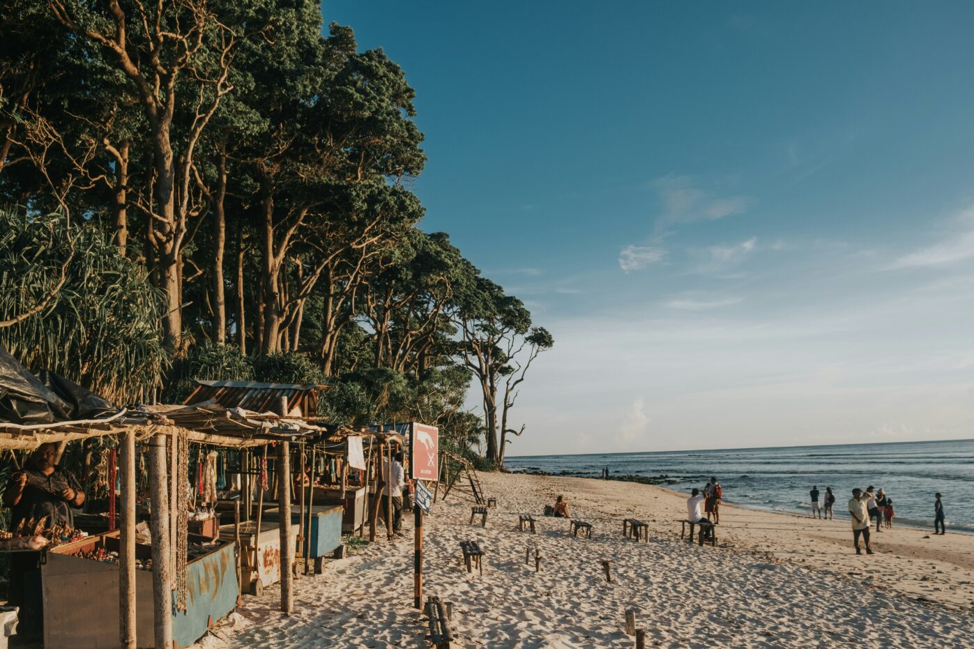
Climate and Weather of Andaman and Nicobar Islands
The climate of the Andaman and Nicobar Islands is tropical but is moderated by sea breezes. There are no extreme weather conditions here except for a bit of a heavy rainfall. The temperatures remain within the range of 23°C to 31°C all along the year.
Summers, typically from March to May, are warm to hot. Being near the Equator, the sun is sharp and sometimes causes discomfort to tourists in the form of tans and sunburns. Hence sunscreen is extremely important when traveling to Andaman. Regardless, the ocean condition is favorable and is suitable for all kinds of tourist activities.
Monsoons (May to August) and Post Monsoons (September to November) accompany medium to heavy rain falls. Average rainfall here is 3000-3500 mm with humidity ranging between 66-85%. The rains are mainly brought by the southwest monsoon in the months of May to September, followed by tropical cyclones in October and November.
Being a tropical island, Winter months (December to February) are not chilly and most ideal for sightseeing. These are the most comfortable months and most tourism buds during this season.
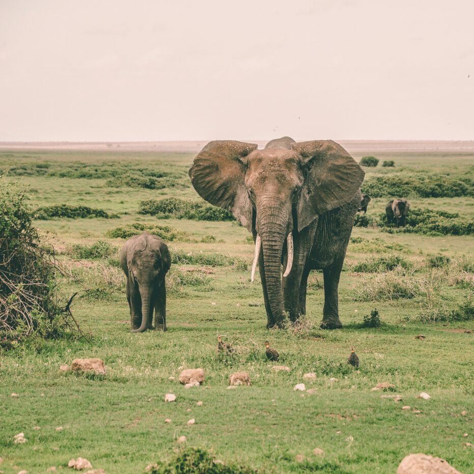
Biodiversity in Andaman and Nicobar Islands
9 National Parks, 96 Wildlife Sanctuaries and 1 Biosphere Reserves constitute the Protected Area network of the Union Territory, covering just 18.71% of its geographical area.
Due to the geographic isolation of these islands, a large degree of endemism exists which means that the ecosystems of these islands are vulnerable to disturbances. Regardless, Andaman and Nicobar Islands house a wide range of flora, fauna and corals; some of which are not found elsewhere in the world.
Mangroves Are The Lifeline of The Island Shorelines.
Featuring a tropical rainforest canopy, the forests here comprise a diverse flora blending elements from the Indo-Myanmar and Indo-Malayan floral realms. The region encompasses twelve distinct types of forests, including evergreen, deciduous, mangrove, littoral, bamboo, sub-montane, and brackish water forests.
Forest coverage is estimated at 86.2% of the total land area, harboring approximately 2,200 plant species, of which 200 are endemic and 1,300 are not found in mainland India. Additionally, the islands host over 200 timber-utilized species.
To read about this section in detail, visit Flora of Andaman and Nicobar Islands
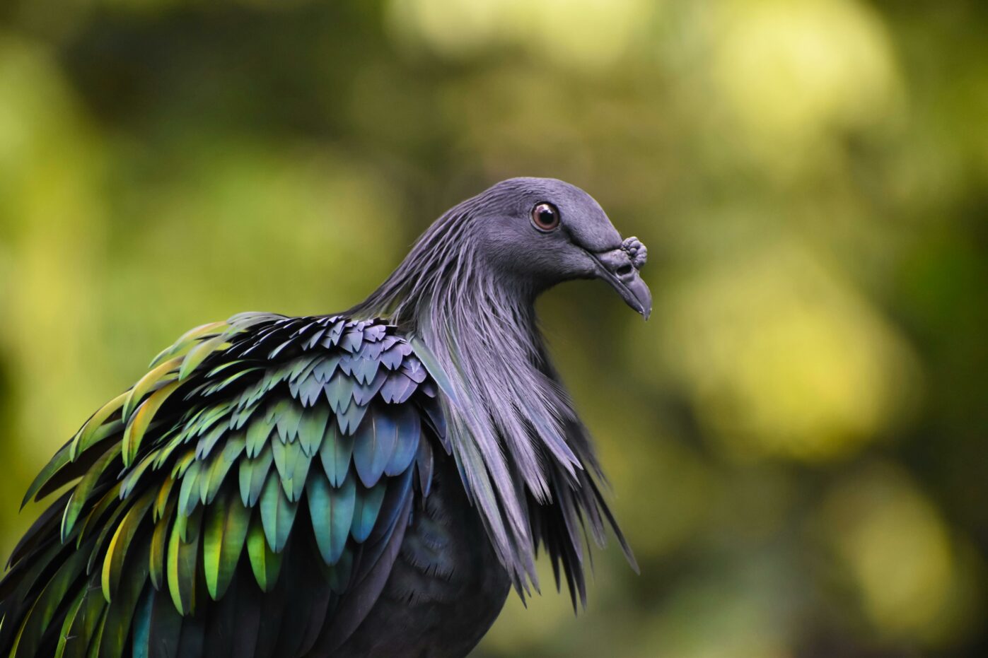
The Nicobar Megapode Builds Its Nest Out of Its Own Saliva. Crazy, Isn’t it?
The fauna of the Andaman and Nicobar Islands is incredibly diverse and unique, owing to the islands’ geographical isolation and varied ecosystems. There is a whole variety of terrestrial, marine, areal and coral species found here. And they’re no less that awe-striking and mesmerizing!
Diglipur and Rangat islands welcome you to witness turtle nesting, the art of birthing whereas the Monitor Lizard can be scary to take your breath away, quite literally!
To read about this section in detail, visit Fauna of Andaman and Nicobar Islands.
Corals Feed Upon Fishes!
The reefs surrounding the Andaman and Nicobar Islands are home to a stunning variety of coral species, including hard corals (such as branching corals and massive corals) and soft corals (such as sea fans and sea whips).
The symbiotic relationship between corals and other marine organisms forms a delicate balance, with each species playing a unique role in the ecosystem’s functioning. The reef serves as a habitat, shelter, nursery and breeding ground for many marine species. Exploring these vibrant reefs while scuba diving in Andaman offers an unforgettable experience, allowing divers to witness the beauty of these underwater ecosystems up close.
To read about this section in detail, visit Coral Spotting While Scuba Diving in Andaman
Environmental Conservation
Environmental conservation in the Andaman and Nicobar Islands is a critical endeavor aimed at safeguarding the archipelago’s rich biodiversity and fragile ecosystems. To achieve this, protected areas such as national parks, wildlife sanctuaries, biosphere reserve and reserved areas have been established.
Sustainable land management practices, including reforestation efforts and eco-tourism initiatives, are being implemented. Hunting and poaching is strictly banned. People are also discouraged from taking home corals and sea shells as they disturb the marine balance, resulting in environmental degradation and natural disasters.
Additionally, public awareness and education programs play a crucial role in fostering a sense of responsibility towards the environment among local communities, encouraging active participation in conservation efforts and ensuring the long-term sustainability of the islands’ natural resources.

Conclusion
In conclusion, the geography of the Andaman and Nicobar Islands is characterized by its diverse and captivating landscapes, encompassing lush rainforests, pristine beaches, age old hills, and unique coral reefs.
These islands serve as a testament to the intricate relationship between land and sea, with their marine ecosystems playing a crucial role in sustaining life both above and below the water’s surface. The islands’ geographical diversity offers a myriad of opportunities for exploration, adventure, and scientific study.
Customer Happiness
Secure Payments
No Hidden Costs
Fast Confirmations
Stay updated with all the excitement that Andamans has to offer

If you have a flair for writing, write for us and get featured.
Get lost or never. You decide. Download our handy tour guides to plan your trip.